Saltwater kayak fishing is extremely popular in Virginia, with anglers catching a variety of species. Throughout the state, fishing habitats range from tidal creeks and sheltered estuaries to the waters of the Chesapeake Bay and Atlantic Ocean.
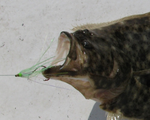
In much of the state, flounder fishing is possible by kayak. The eastern shore has hundreds of miles of narrow creeks and shallow bays, many of which are accessible by kayak.
Popular launching areas for flounder fishing on the eastern shore include Chincoteague Island, Gargathy, Accomac, Wachapreague, Quinby, and Oyster. Flounder are also caught by kayakers around the concrete ships at Kiptopeake State Park and in the creeks and bays on the southern tip of the peninsula.
Along the Chesapeake Bay, kayak launching areas are available near most towns. From Point Lookout, southward and all along the Eastern shore, kayakers will find a variety of areas suitable for saltwater fishing. Many of these launch areas provide access to Virginia’s most productive rivers where striped bass, croaker, trout, drum, and other species are likely to be found.
Many anglers prefer fishing the backwater coves and small creeks that feed into rivers. These areas often have excellent fish habitat, especially grass beds, tidal rips, oyster beds and other fish attracting structure. These shallow, remote areas are home to some of Virginia’s most sought after species, including trophy class red drum, striped bass, speckled trout, and even tarpon.
In Hampton Roads, kayakers fish the Lynnhaven River, Rudee Inlet, Chesapeake Bay Bridge Tunnel (CBBT), Hampton Roads Bridge Tunel (HRBT), and other areas for striped bass (rockfish), flounder, croaker, spot, kingfish, bluefish, sea trout, sheepshead, and other species.
The following tips may be useful to saltwater kayakers:
Pack light whenever possible. Re-use items. A lunch cooler can double as fish storage. Bring only essential lures and rigs, packed and ready to use
Always check weather forecasts and tidal information before making a trip. Wear a PFD at all times and carry safety equipment.
Research potential fishing areas before launching. Study a navigational chart, topographical map or maps.google.com to find and analyze fishing spots before a trip.
Visit the Virginia Marine Resources Commission website for fishing regulations, safety tips, launching locations, and other information. Additional launching areas can be found in most state parks.
Tourism offices are another source of information. Most stock a variety of maps, brochures, and other materials that provide locations and other information related to public access.
To find productive kayak fishing areas, talk to local anglers, outfitters, or join a fishing club.
Consult a field guide to saltwater fish to learn more about fish identification.
Related Information
